We’re digital mapping all our high-rise buildings to help keep our customers safe
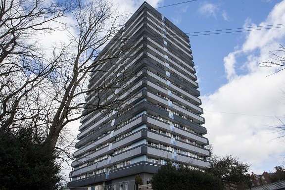
A pioneering project will see us create 3D digital maps of all our high-rise buildings to help keep our customers safe.
We are working with Twinnedit to ensure our high-rise buildings are captured and re-created in a digital world, using the latest laser and scanning tools and drones operated by licenced pilots.
The digital twin of the building will feature the external walls and roof, along with the ground the building sits on, all the internal communal areas, service areas, stairwells and floor plans of each home.
The Twinnedit team then use the scan data to create 3D BIM models, drawings, virtual reality (VR) experiences and information animations. They also capture aerial drone footage.
All this data, and the huge amount of data we already have about the buildings, is then brought together into one secure platform.
Our Fire Safety Manager, Craig Evans, said: “This digital mapping enables both our team, the fire service and our customers to visualise and understand the building without even being there.
“We have 40 high-rise blocks to get through across Birmingham and Coventry and the survey period will take 10 weeks in total, weather permitting – so far it is going as planned.
“Twinnedit will also benefit our customers as they are able to access evacuation policies and routes.”
We are one of the first housing associations in the Midlands to embrace the Twinnedit building safety platform.

For media enquiries contact our Communications Team.